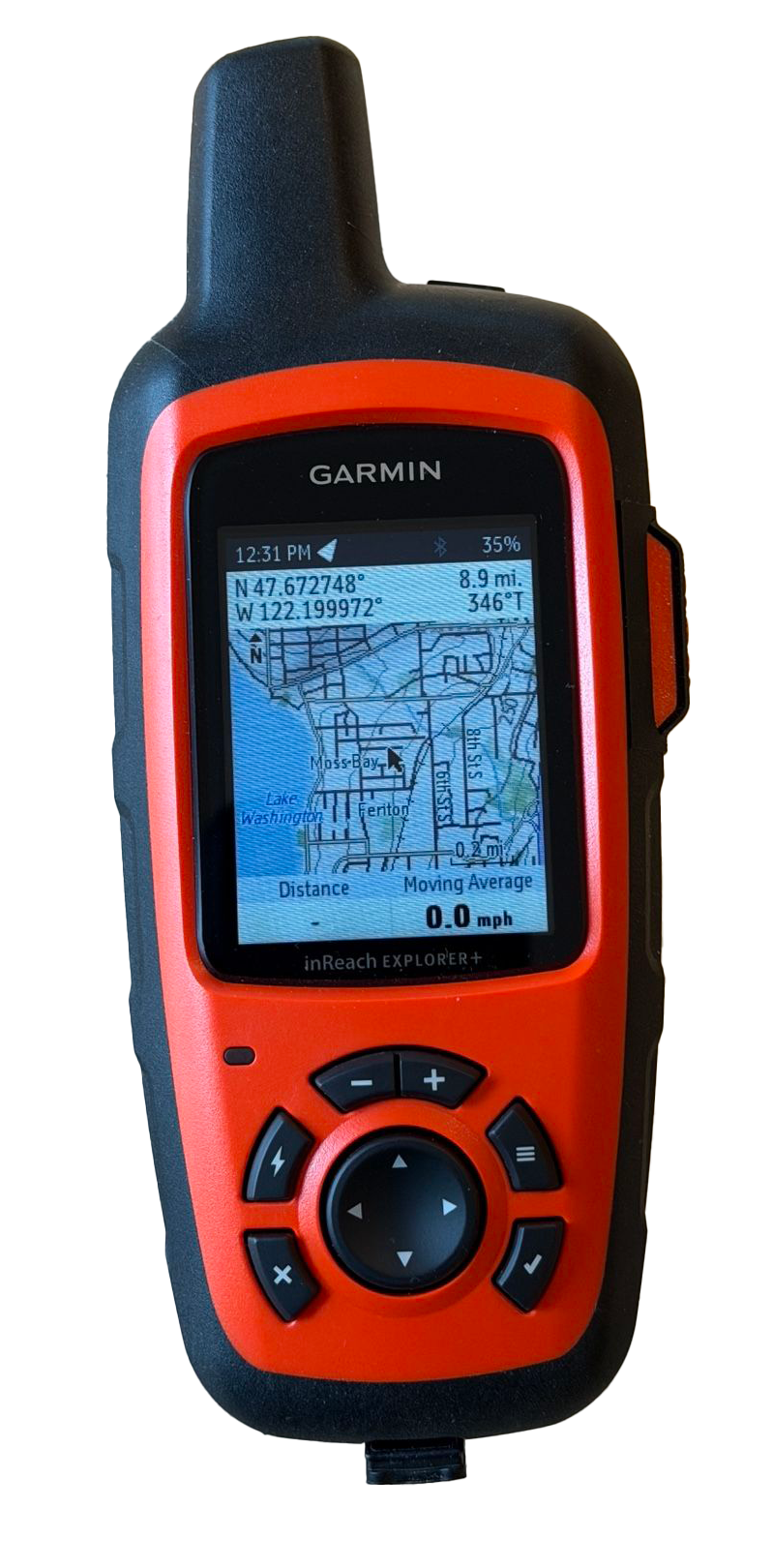
I will be taking with me a very special tracking device which is perhaps a little overkill for this journey, but was essential for my Arctic trip back in 2023
It a Garmin InReach Explorer* that uses the Iridium satellite network for tracking and communications that:
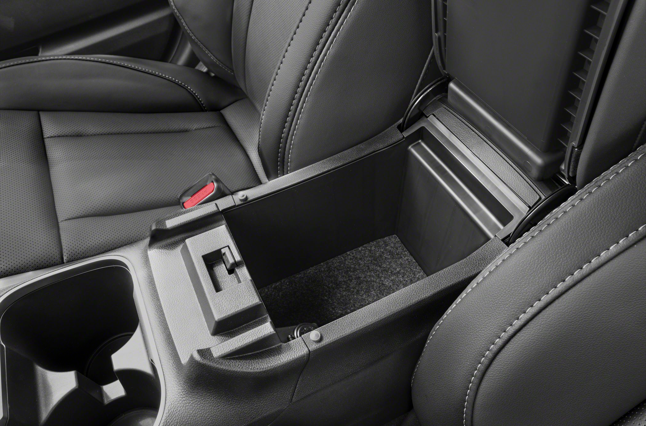
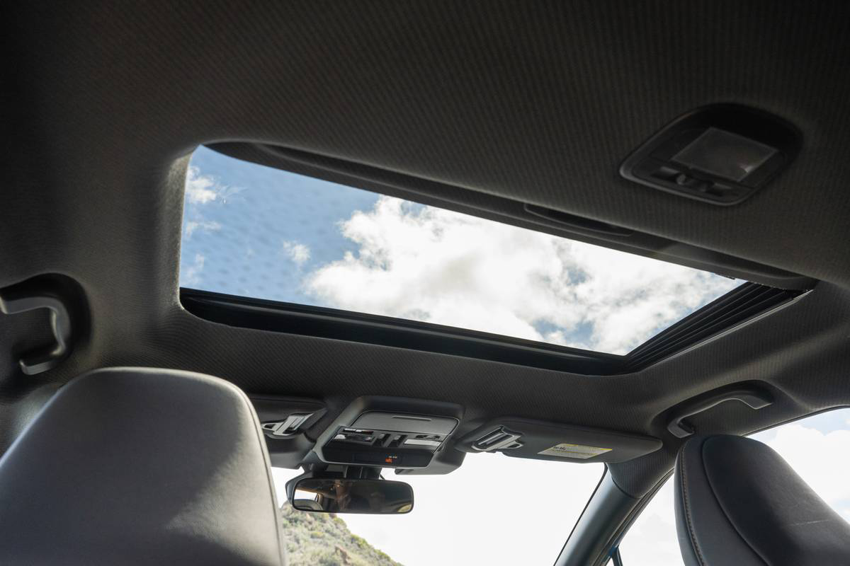
Satellite devices must have clear "radio path" sight of one or more satellites, and in a car that can be a problem as metal blocks such a path. But those Subaru designers must have guessed I was going to use a satellite device on my trips as they have kindly arranged things for me.
My outback has a sunroof made of glass and a cover made of plastic - both are "radio friendly". In addition, the centre console storage unit is directly under that sunroof, so power up the InReach Explorer, pop it into the console storage and we're good to go!
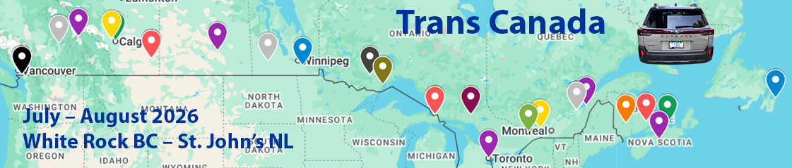
Here is an example of the map type and part of the route I will be taking
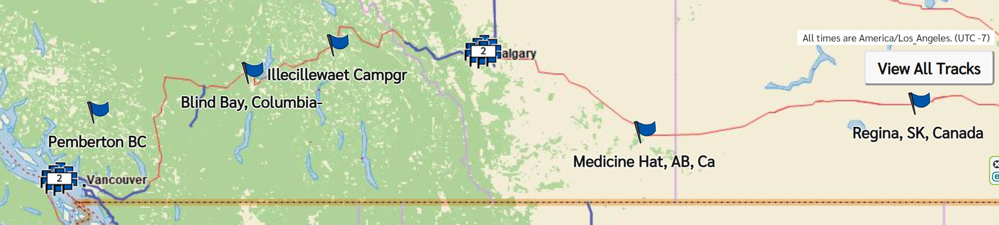
The Plan page shows the planned route, stops and schedule
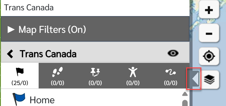
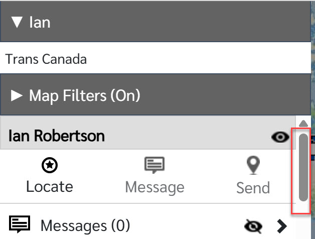
To access the real time map page click here and the map will open in a new page.
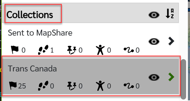
In the Control Panel scroll down until you see Collections
Click on the Trans Canada area.
Lastly, click of the chevron to hide the Control Panel
Now you can move and zoom the map to see route progress so far, and my current location.